Managing Agency: Tahoe National Forest
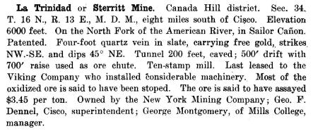
This description of the La Trinidad mine is from Mines and Mineral Resources of the Counties of El Dorado, Placer, Sacramento, Yuba (1917):

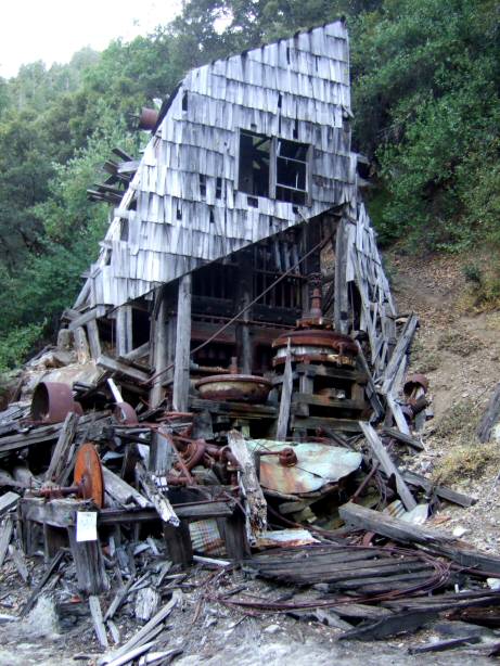
 The mill at the mine site is the most intact that I have seen in the North Fork.
The building is collapsing but there are still the ore cart tracks that lead to the rock crusher on top of the mill building as well as the 10 stamp battery and other equipment.
 The mine equipment was probably brought by wagon on the Foresthill Divide and then slid down the slope to the site.
But while in operation the mine was supplied by way of the Big Granite Trail from Cisco on the railroad above Cisco Grove.
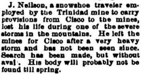
This 1894 news report from the Deseret Weekly shows the dangers of trying to supply the mine during the winter.