Managing Agency: Tahoe National Forest
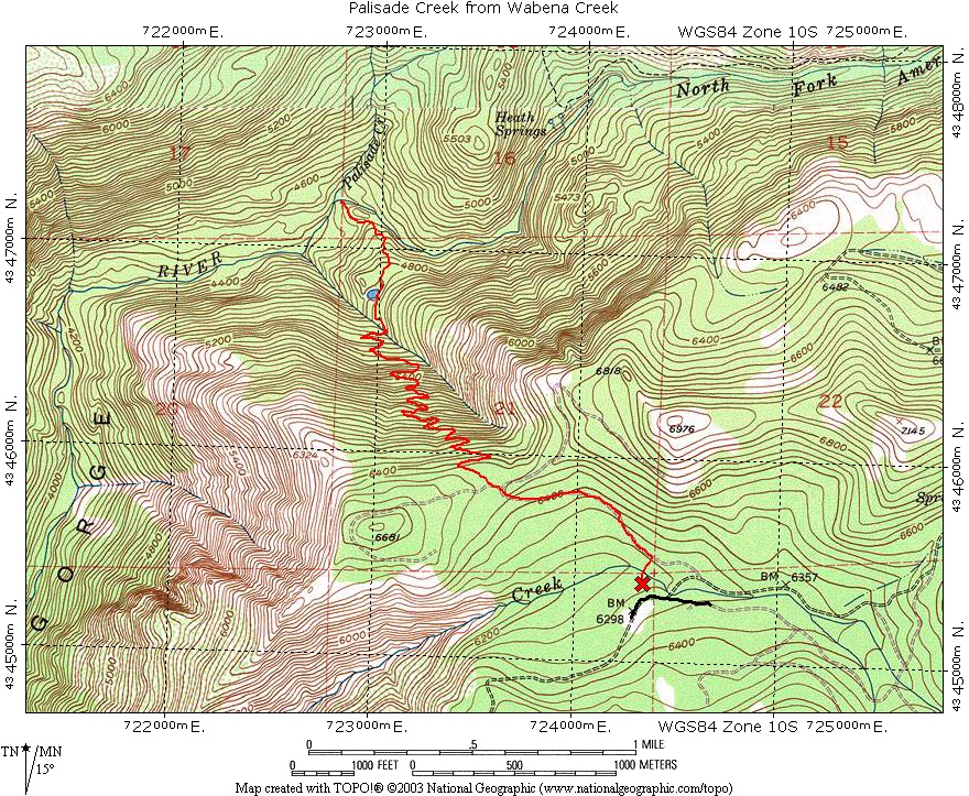
The Palisade Creek Trail from Wabena Creek is one of the few modern era trails in the North Fork. The slope that the trail was constructed on in the 1980's appears to be unstable, this may have been due to a timber harvest on this very steep slope. During the heavy January 1997 storm the ravine that the trail crosses near the bottom of the slope had a significant slide that has left a deep gully. The damaged trail has not been repaired and hikers must negotiate this obstacle to reach the river. There are ropes to help in getting up and down the sides, but use caution when crossing this gully, the sides are loose and you will knock some rocks loose.


At the river this slide has resulted in beautiful bedrock pools being filled with debris from the slide. For the next .3 miles the bedrock pools are completely filled in with debris. Beyond that the pools have less debris.

