Managing Agency: Tahoe National Forest
 I have seen the Dorer Mine Trail shown on a few maps. Most notable is this 1900 USGS topography map by Waldemar Lindgren showing the trail starting from the bridge site at Humbug Bar and climbing to a low pass on Sawtooth Ridge.
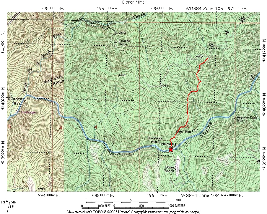
 The current USGS 7.5 minute topographic map incorrectly shows the Dorer Mine near the river.
The description of the "Dorrer Mine" from a 1894 mining report places the mine higher up the slope.
The current USGS 7.5 minute topographic map incorrectly shows the Dorer Mine near the river.
The description of the "Dorrer Mine" from a 1894 mining report places the mine higher up the slope.
At the mines you can find the cable used for the tramway. This location of the mine and tramway also line up nicely with the mill site at the Central Mine near the river. It is almost certain that this is the mill described in the 1894 report and it is possible that the Central and Dorer mines shared the mill.